Google Street View Cars Are Now Testing for Air Quality, Too
By Emily Petsko

Google Street View has literally changed the way we see the world. Now, the tech giant wants to show people which areas of their neighborhood are the most polluted.
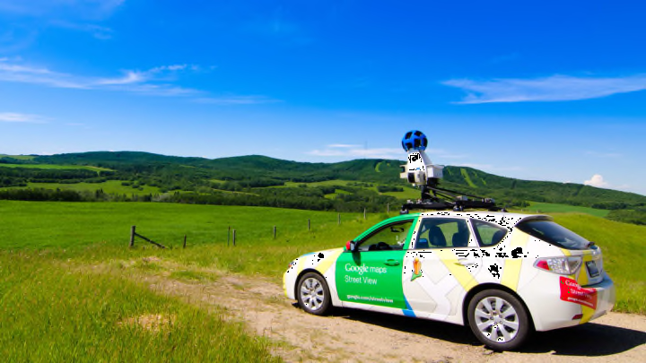
As Tech Crunch reports, 50 of Google's Street View cars—which capture images for Google Maps—will be outfitted with internet-connected air quality sensors produced by San Francisco-based startup Aclima.
This project marks the latest development in Google's partnership with the tech and climate science company. Beginning in 2015, Google equipped its Street View cars with Aclima air sensors and asked drivers to cruise around Oakland, California, on weekdays from May 2015 to May 2016.
The result was a scientific study which revealed that air pollution levels can vary greatly—with five to eight different readings—along the same city street, and even within the same block.
"We found you can have the best air quality and the worst air quality all on the same street," Aclima founder Davida Herzl tells TechCrunch. "Understanding that can help with everything from urban planning to understanding your personal exposure."
The sensors will be used to monitor the levels of particulate matter in the air, as well as carbon monoxide and dioxide, nitrogen dioxide, ozone, and nitric oxide. To start, cars with air sensors will be deployed in just one U.S. city—Houston—while others will be sent to drive around Mexico City and Sydney while going about their usual business of capturing images for Google Maps. The data will then be uploaded to Google BigQuery, where the public will have access to it.
[h/t Tech Crunch]